Garmin Chartplotters | Raymarine Chartplotters
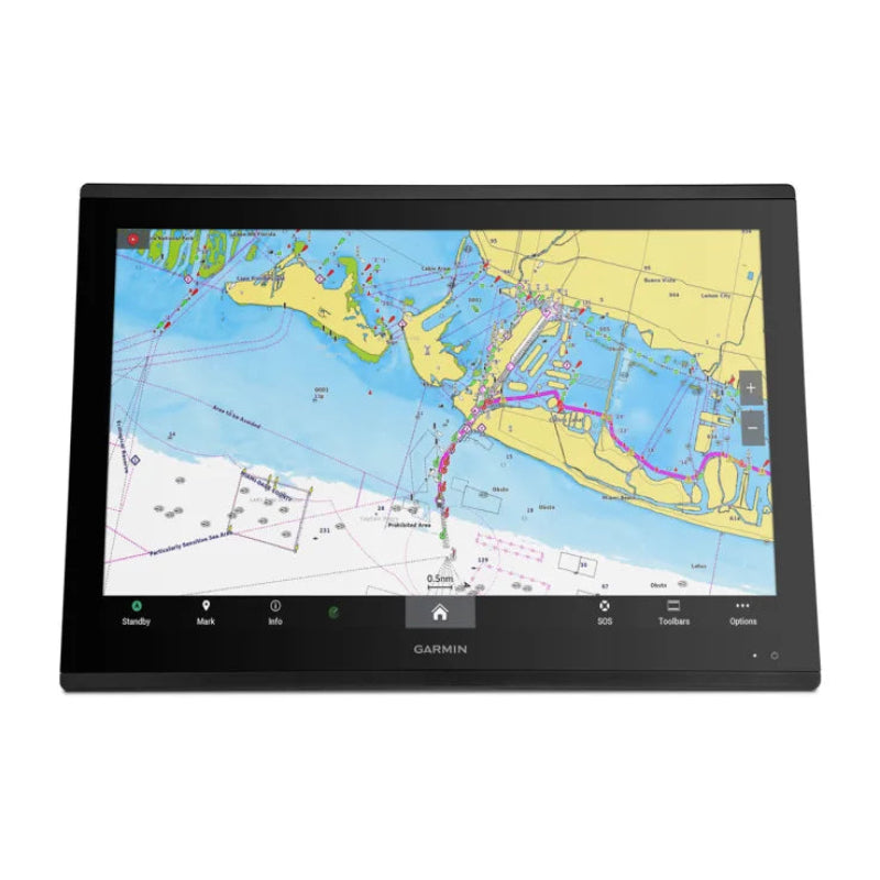
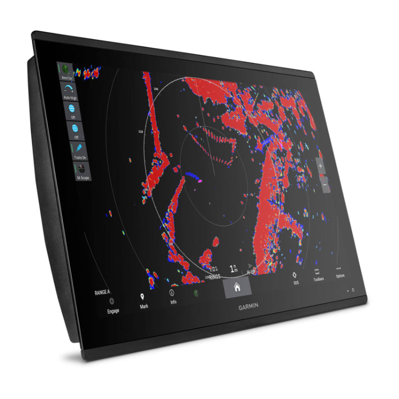
Navigate with confidence using cutting-edge chartplotters from Garmin and Raymarine - combining precision GPS, crisp mapping, and powerful integrations for every type of boating. From compact units for smaller craft to advanced multi-function displays for serious cruising, these systems put the whole sea at your fingertips.
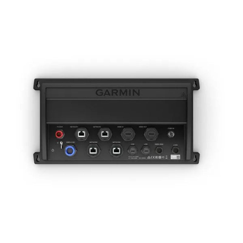
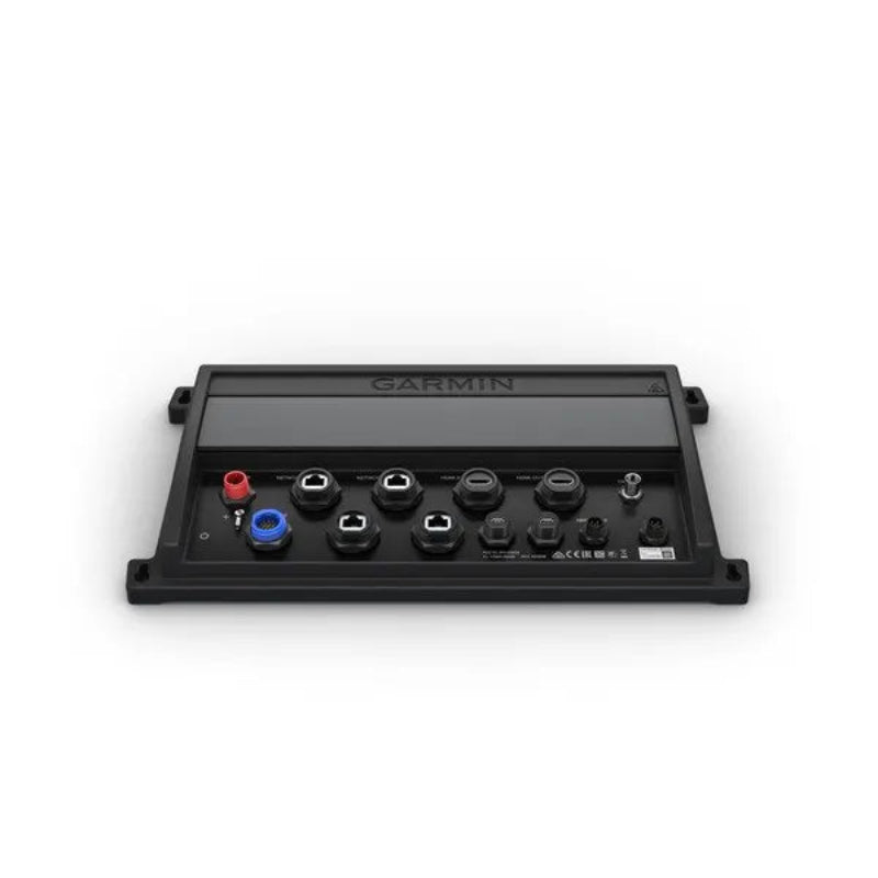
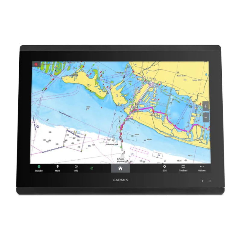
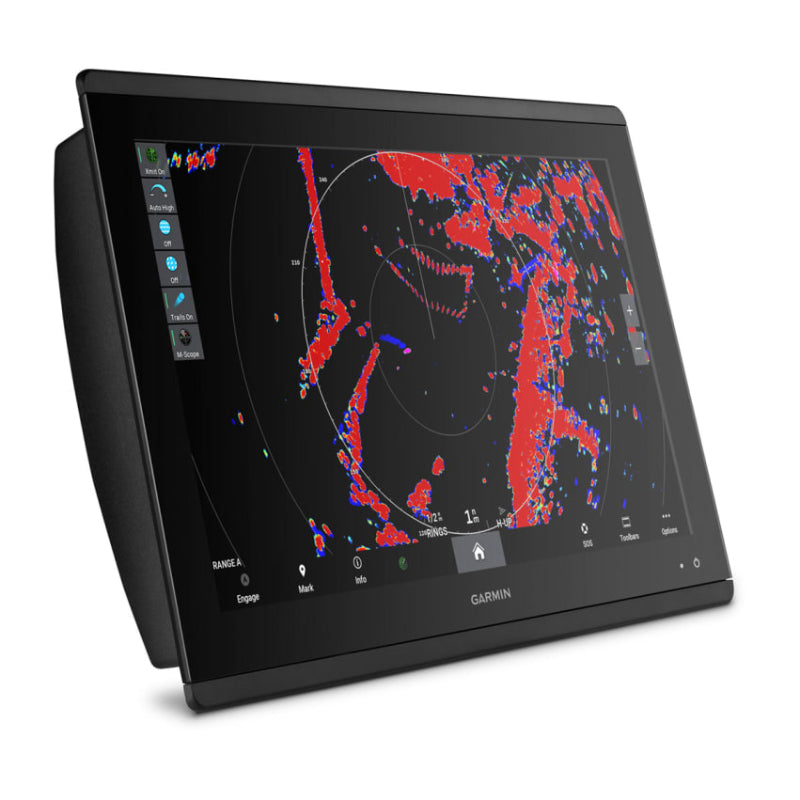
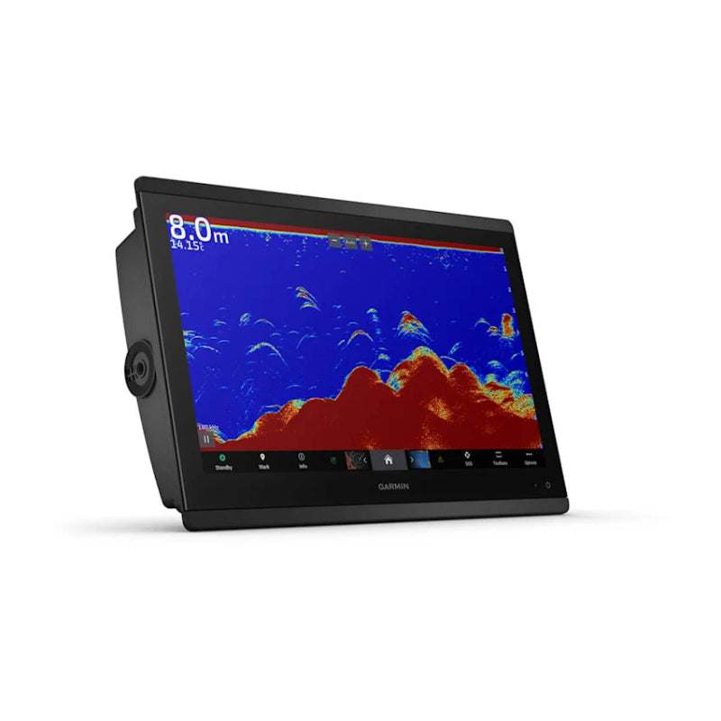
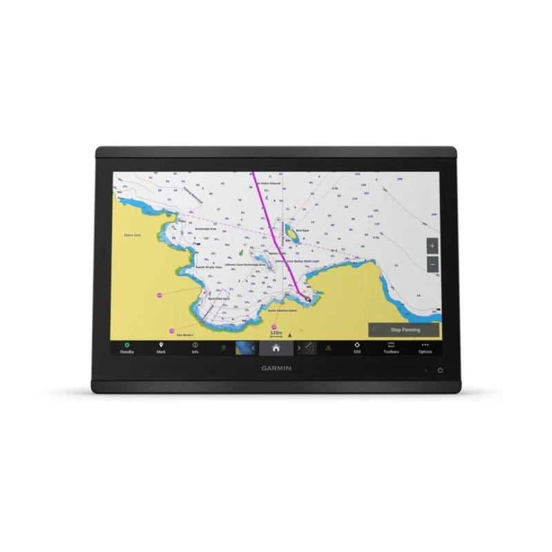
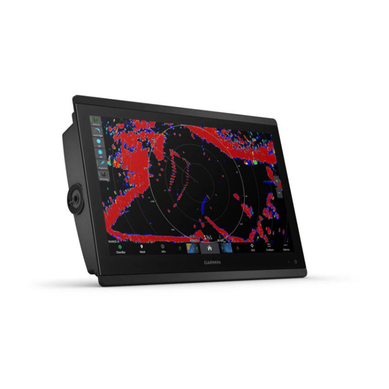
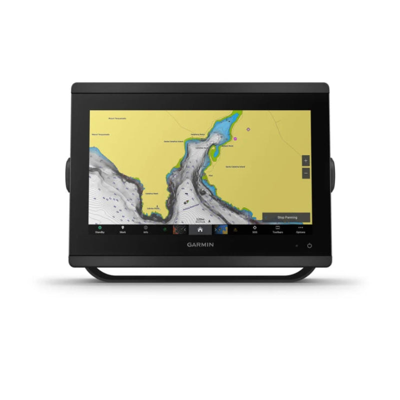
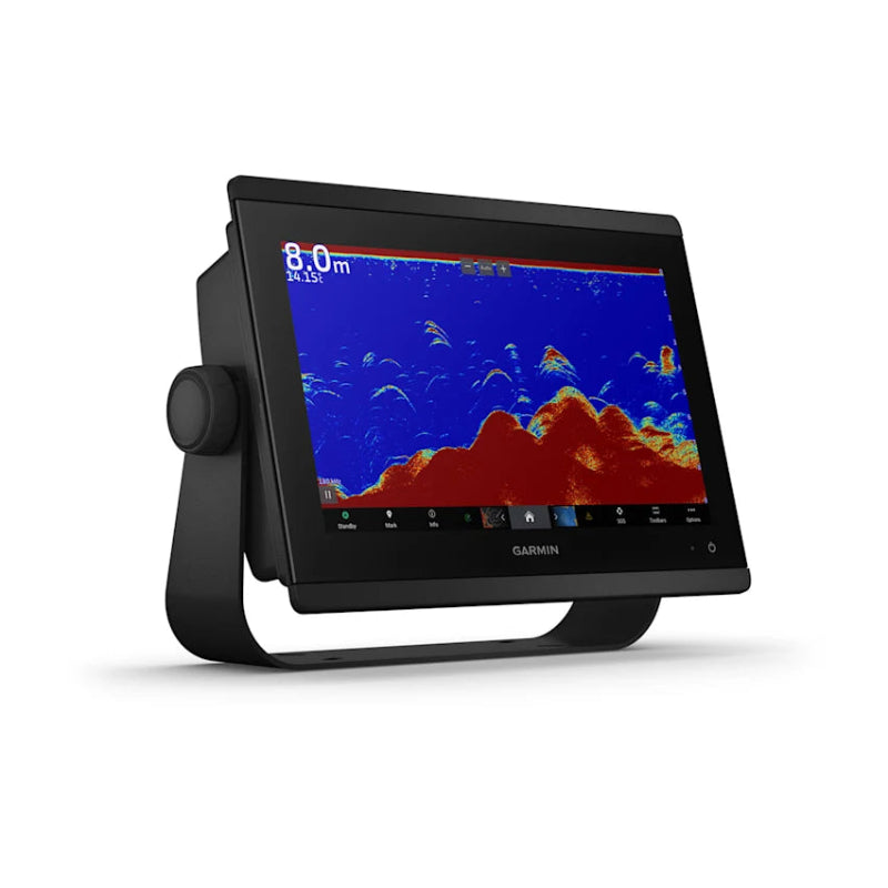
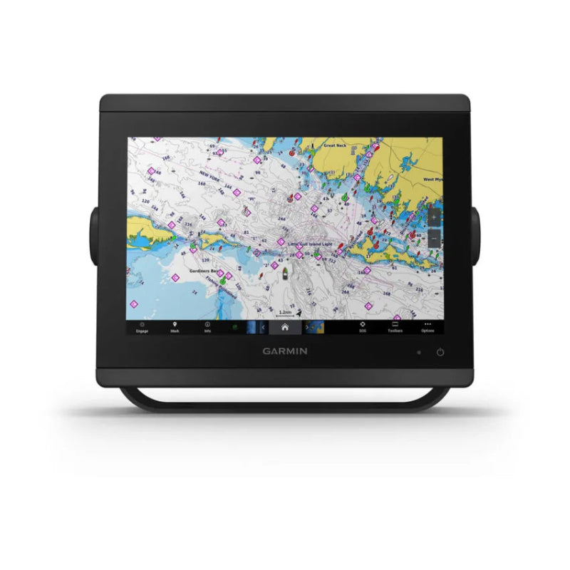
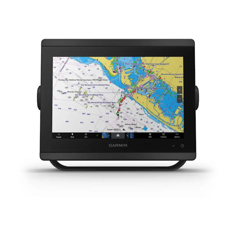
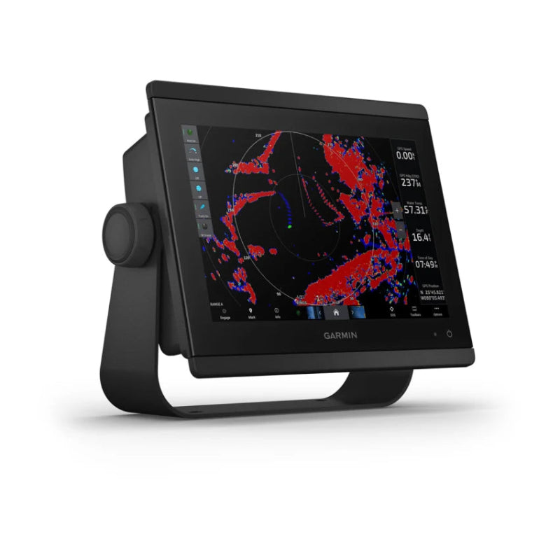
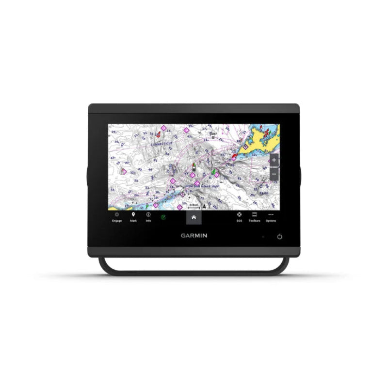
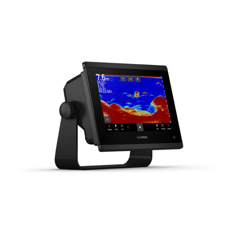
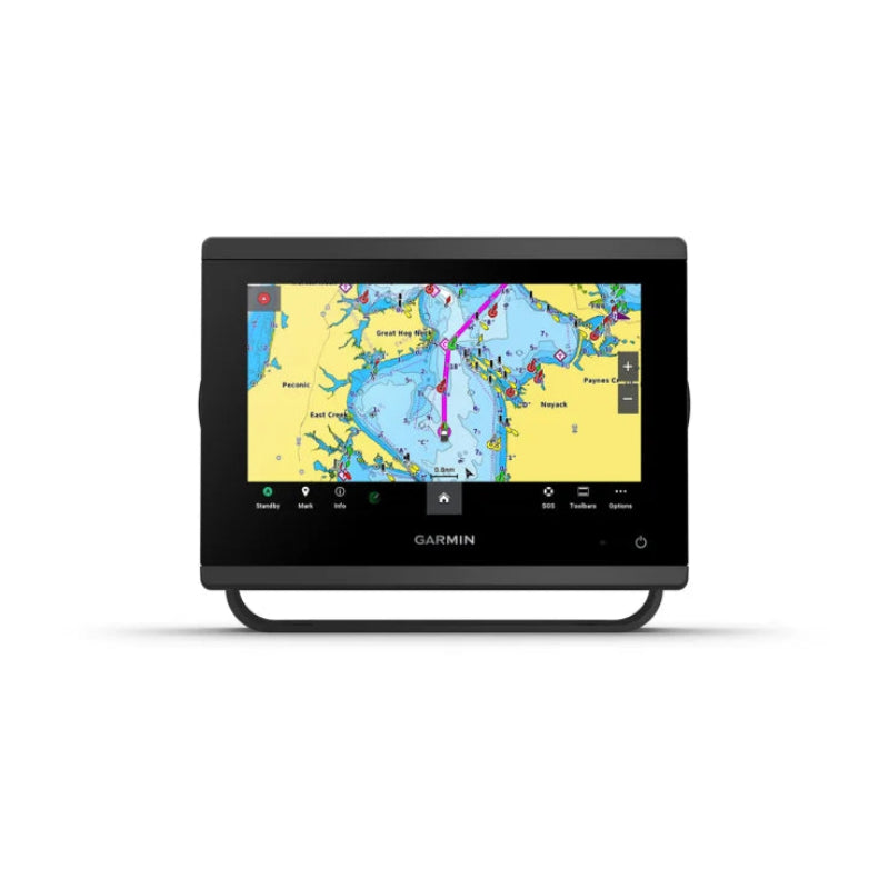
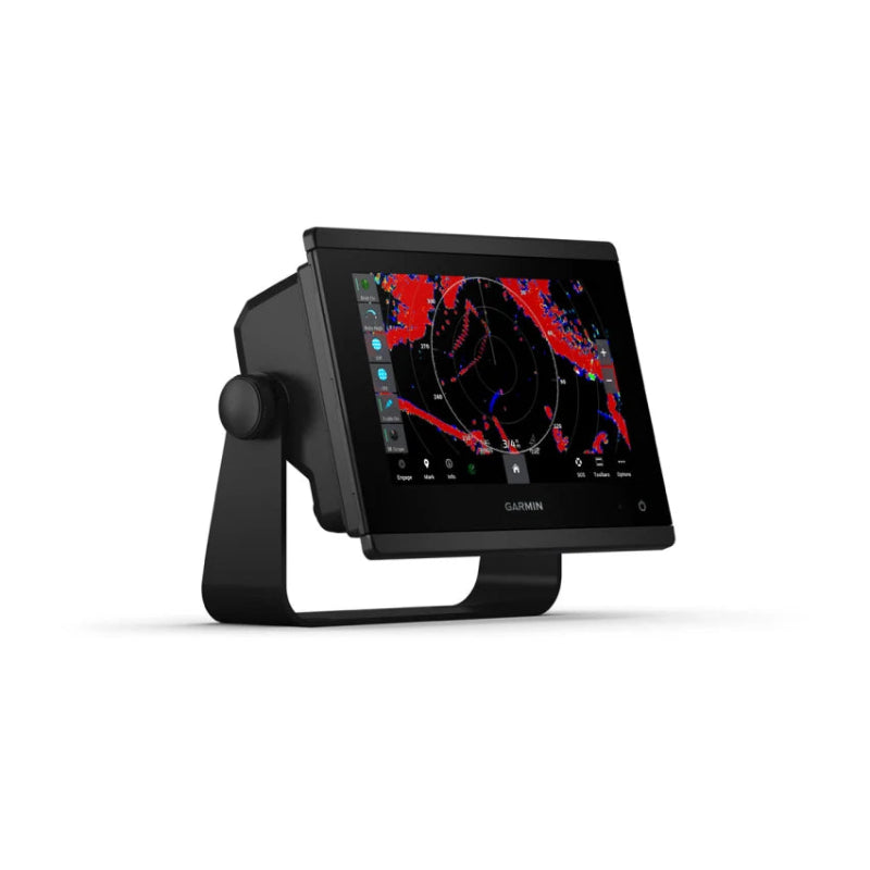
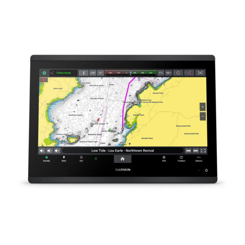
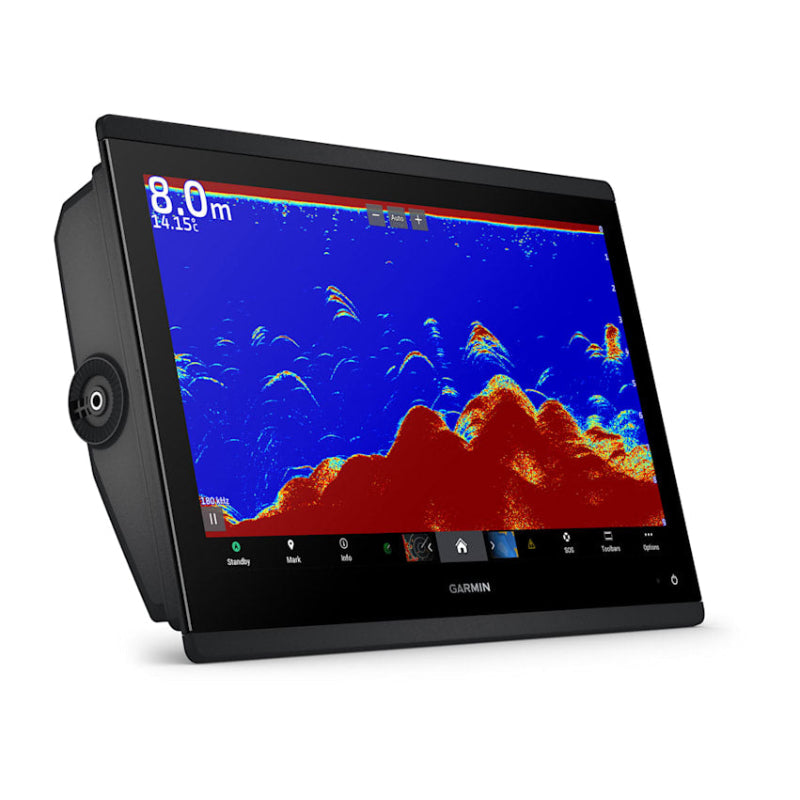
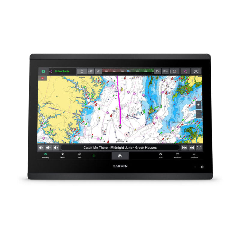
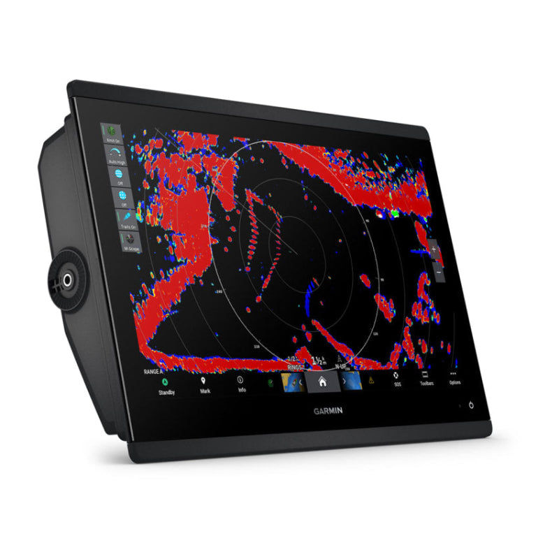
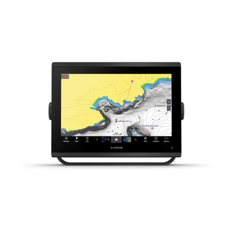
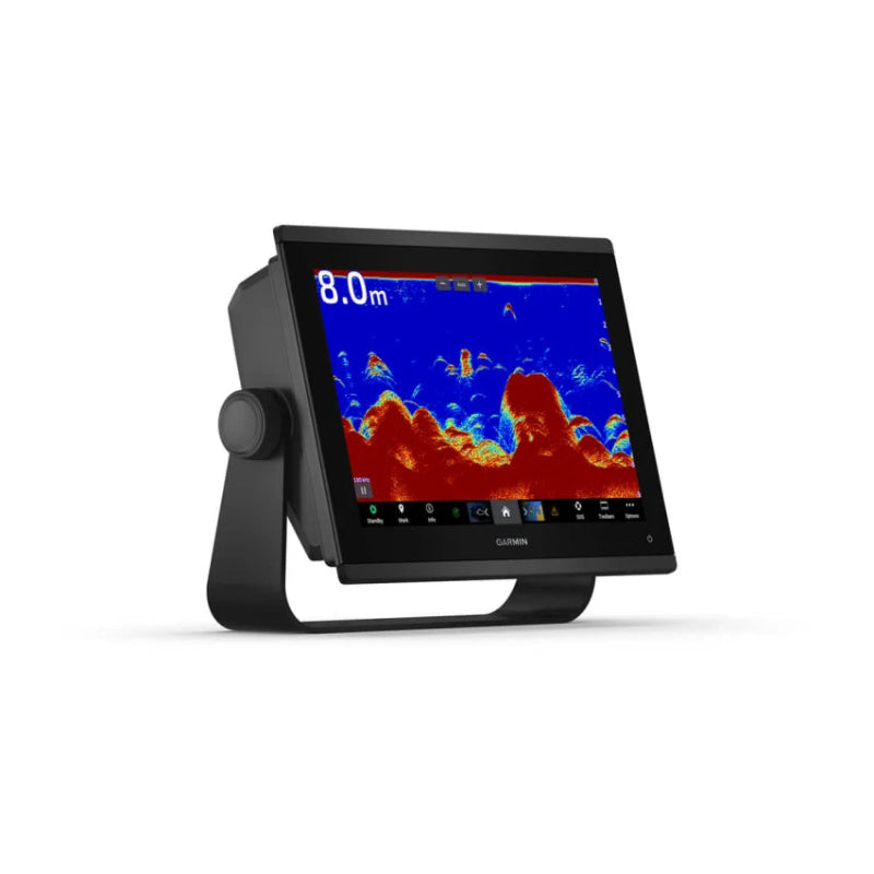
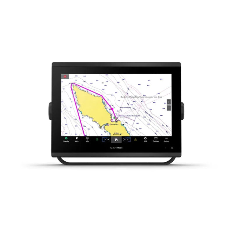
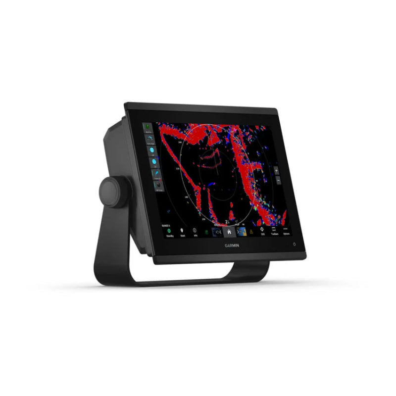
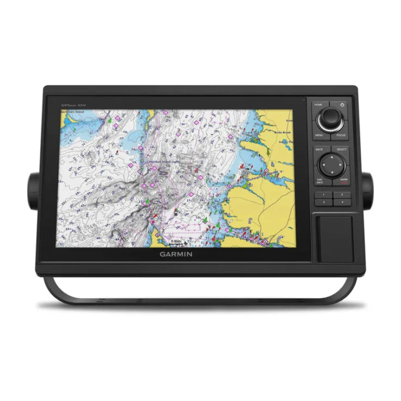
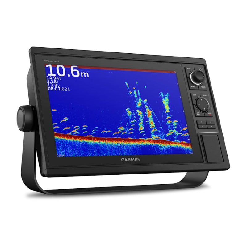
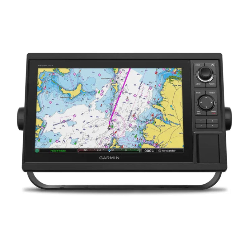
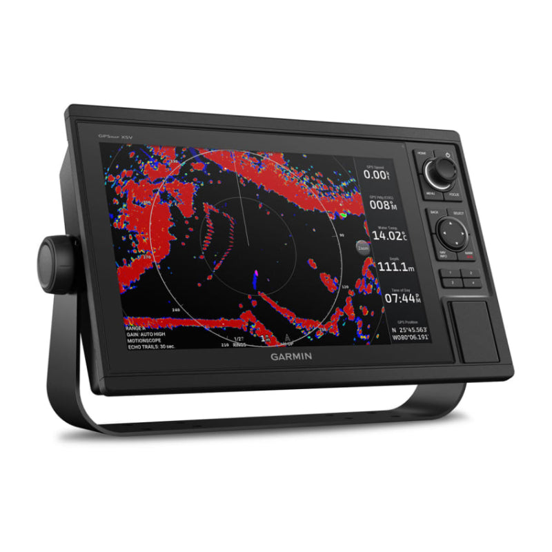
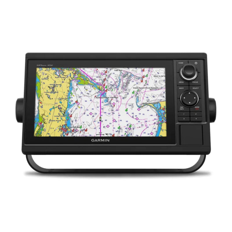
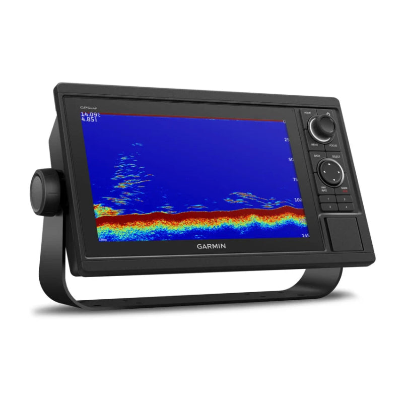
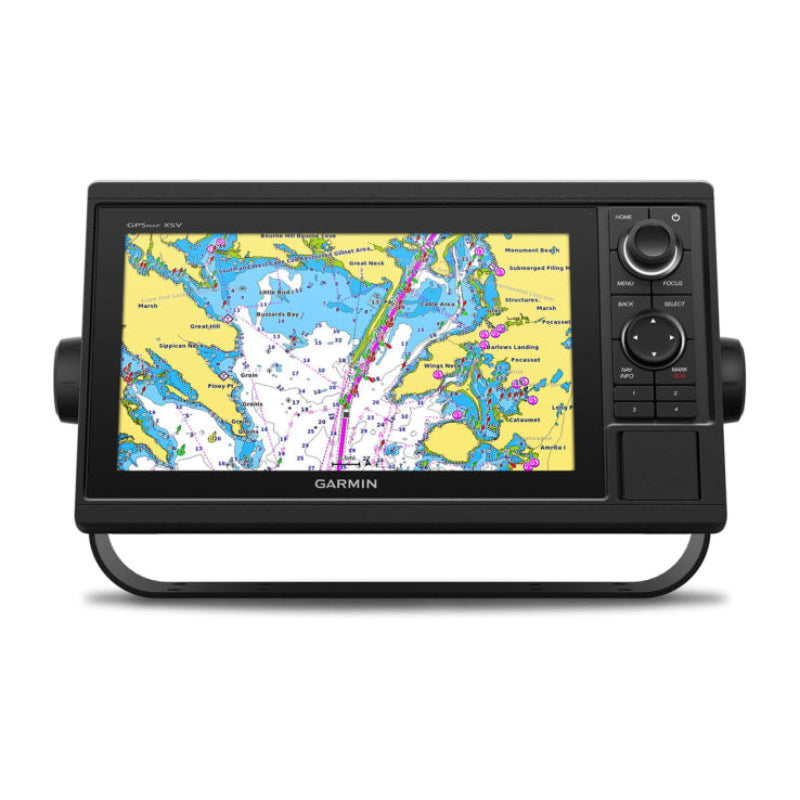
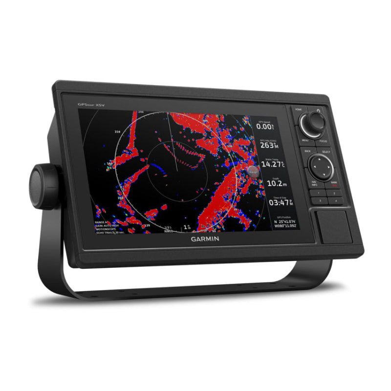
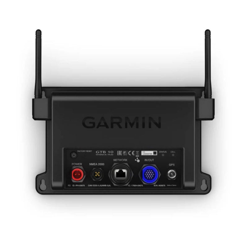
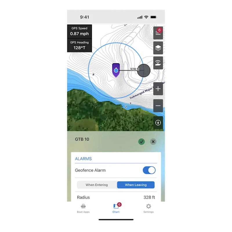
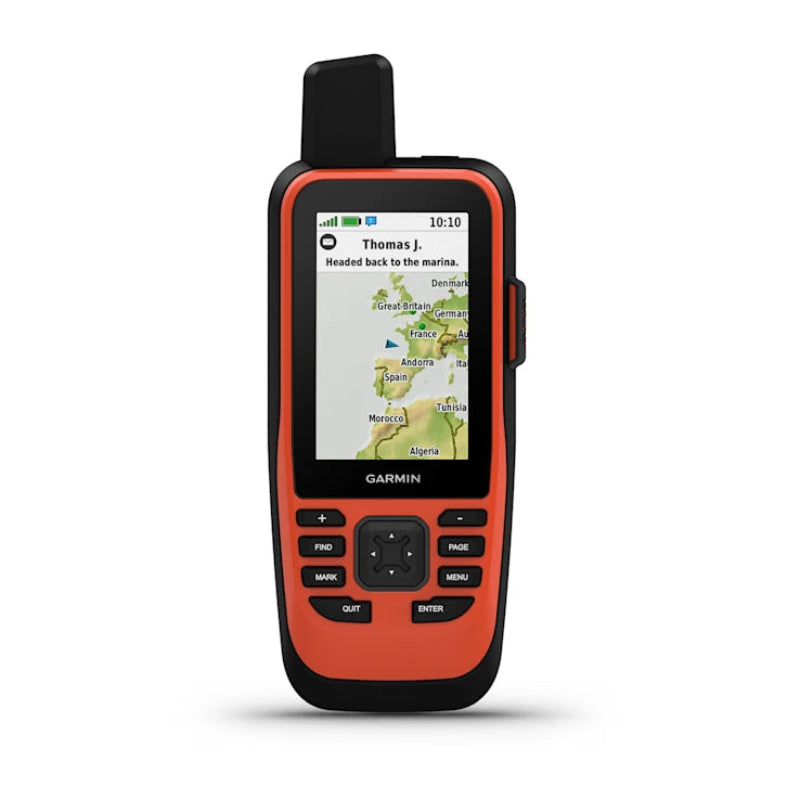
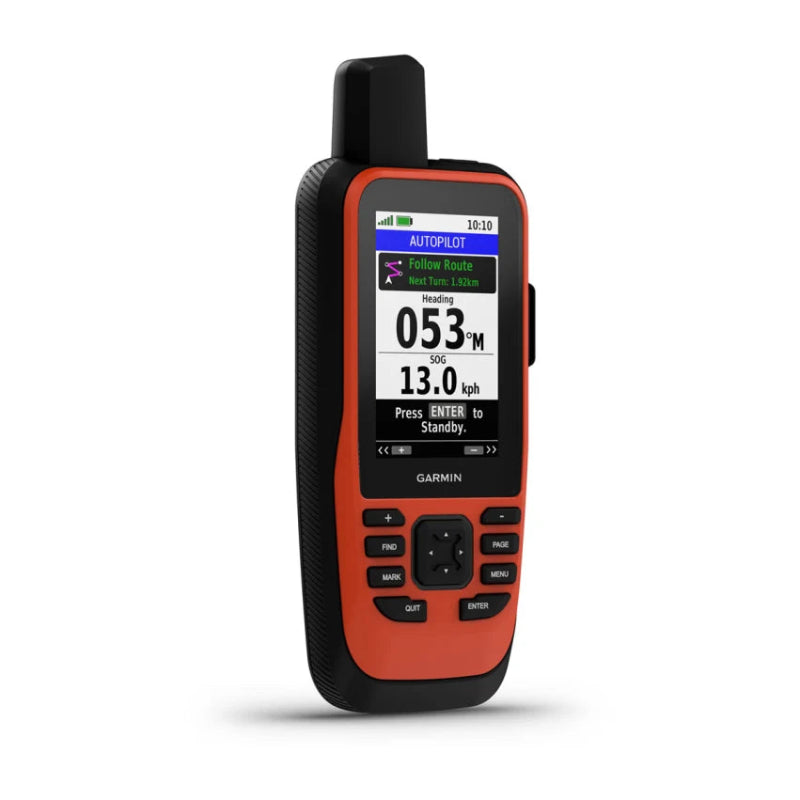
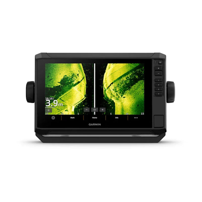
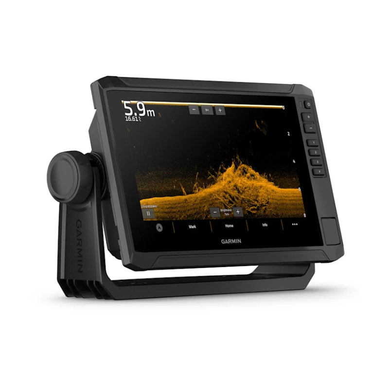
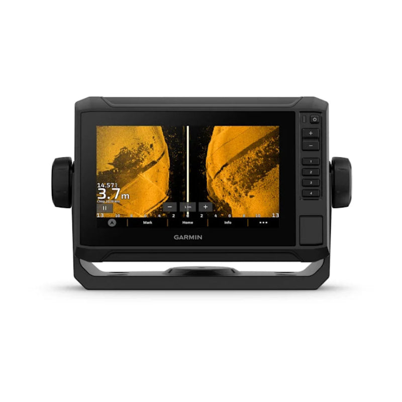
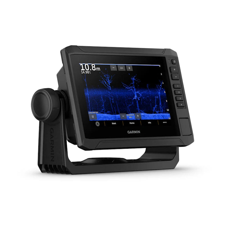
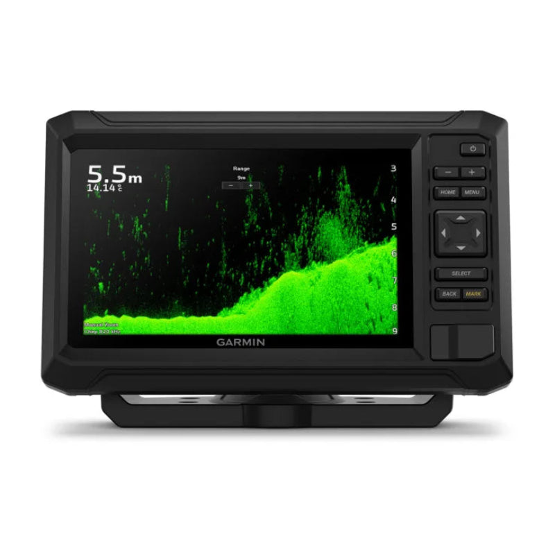
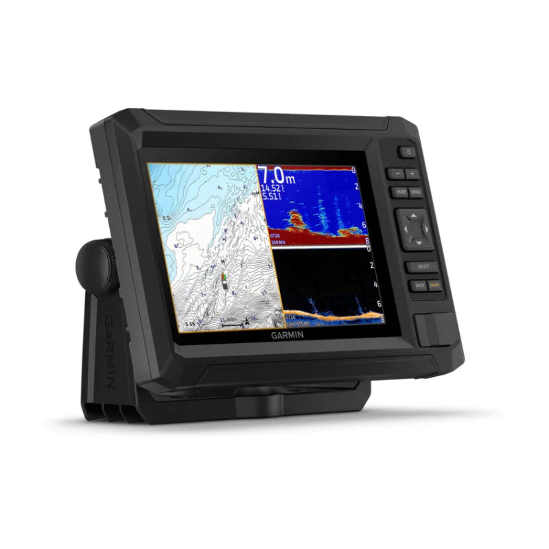
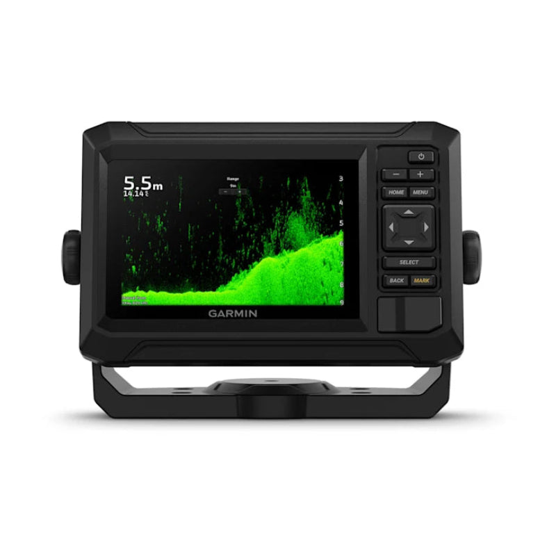
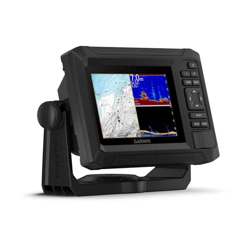
At Morgan Marine Chandlery, we stock the latest Raymarine AXIOM+, AXIOM2, AXIOM2 Pro, and Element series alongside Garmin GPSMAP, ECHOMAP, and Striker models – all designed to handle UK waters with accuracy and clarity. Many units can integrate AIS, radar, depth, cameras, autopilot, and more, creating a full command centre at the helm.
✔ Full Range – From entry-level units to high-end MFDs
✔ Smart Features – AIS, radar, sonar, tide data & autopilot integration
✔ Crystal Clarity – High-resolution displays in multiple sizes
✔ Trusted Brands – Garmin & Raymarine leading the way
✔ Expert Support – Installation advice and electronics fit-outs
Browse Chartplotters Now – Smarter navigation, safer journeys.
Read more...